
Early Warning System
Helping people anticipate risks and take protective action.
GFIR combines expertise in climate change and international development with innovative mobile technology to help vulnerable communities and workers prepare for, respond to, and recover from climate-related disasters.
Our integrated approach connects timely, location-specific early warnings with rapid emergency financial assistance supported by local partnerships.

Helping people anticipate risks and take protective action.
Helping people meet urgent needs through timely financial support.
GFIR works with local partners to connect vulnerable communities with timely disaster warnings and emergency financial assistance through an integrated digital platform.
Identify disaster-prone communities and collaborate with trusted local organizations to establish the foundations for implementation.
Register beneficiaries before disasters through mobile self-registration or assistance from trained local agents.
Monitor emerging disaster risks using forecasting data and location-based hazard intelligence.
Deliver timely, location-specific warnings to registered beneficiaries, helping them prepare and take protective action.
Provide rapid emergency financial assistance to eligible beneficiaries when predefined conditions are met and funding is available.
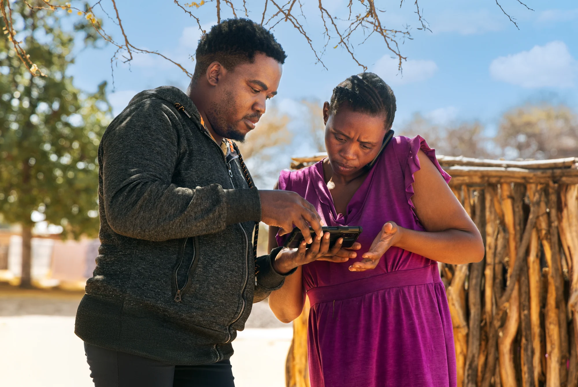
GFIR is developing an integrated, mobile-based platform that connects beneficiary registration, disaster forecasting, early warning alerts, and emergency financial assistance.
Designed for diverse levels of smartphone access and connectivity, the platform combines user-friendly mobile applications with local-agent support to reach vulnerable communities.
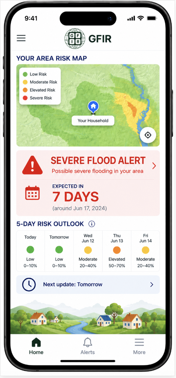
Registration, warnings, and assistance information
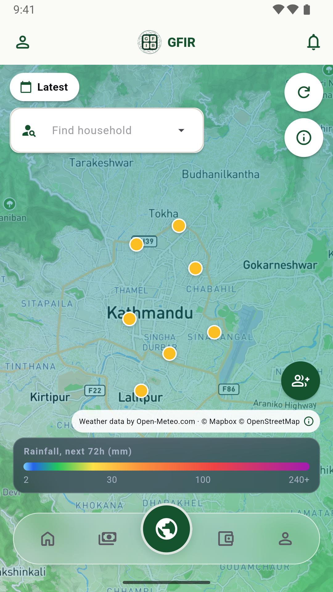
Assisted enrollment and field operations
Location-Based Alerts Flexible Mobile Access Integrated Assistance